Showing posts with label hurricanes. Show all posts

Thursday, 10 May 2018

Meteorology 101: Hurricanes, Typhoons, And Cyclones

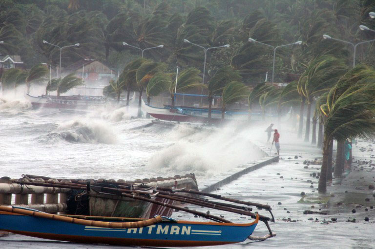
Hurricanes, typhoons, and cyclones are all names given to the same type of extreme weather disturbances, intense lower-pressure systems that bring in powerful winds and rain and can potentially cause millions of dollars in damage once they hit land. But just what are their differences, and why give them different names?

Image source: earthsky.org


The term used by meteorologists for these developing weather disturbances is tropical cyclone. A tropical cyclone is born when moisture, warm tropical waters, and light winds combine with a weather disturbance. As the winds of the tropical cyclone get stronger, the closer it gets to either being a cyclone, hurricane, or typhoon. The target wind speed is 75 miles per hour. Once it hits that, the name changes, into one of the three.

And once the newly-formed hurricane, typhoon, or cyclone sustains its conditions over a given period, it brings on new and more devastating conditions such as torrential rains, and huge oceanic waves.

So, why the need for three different names? The names were coined to distinguish the location of the weather disturbance.

Hurricanes happen over the Atlantic and Northeast Pacific. Typhoons, on the other hand, form over the Northwest Pacific. Cyclones occur in the South Pacific and Indian Oceans.

Image source: rappler.com

Weatherman Jim Byrne serves as a consultant for the program “So You Think You’d Survive,” now under the Weather Channel. An alumnus of San Jose State University, he has also served as the chief meteorologist at KCOY CBS-12. More on Jim’s work here.

Wednesday, 4 April 2018

What Exactly Is The La Niña Phenomenon?

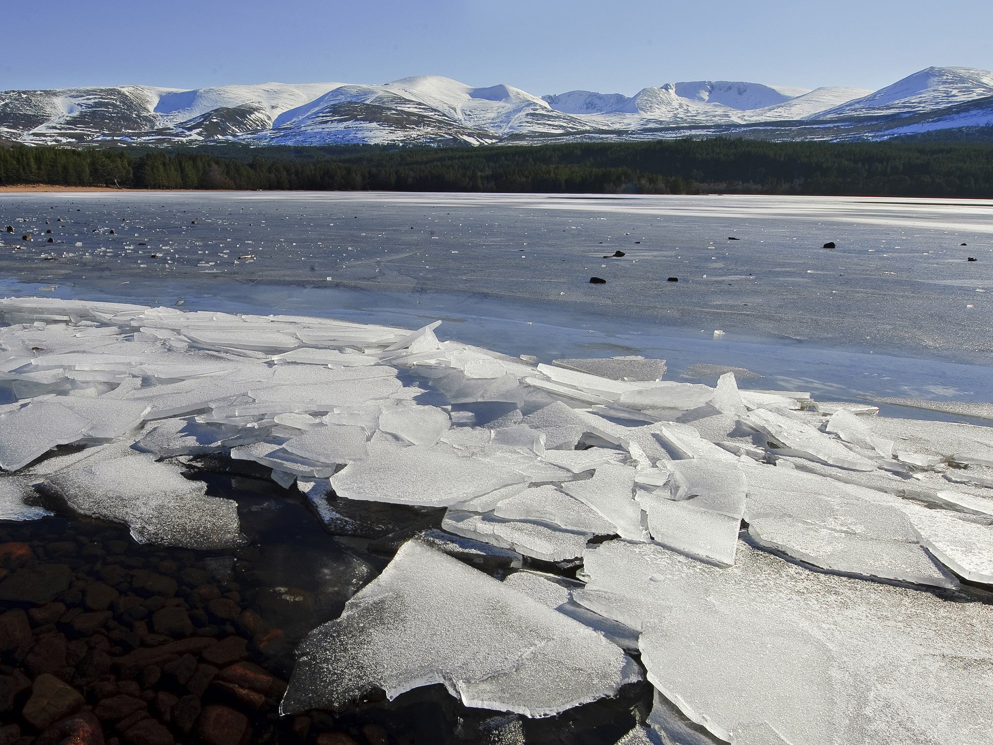
La Niña is a climate pattern phenomenon that pertains to the cooling of surface ocean waters along the tropical west coast of South America. La Niña is the counterpart to El Niño wherein the equatorial region of the Pacific Ocean are marked by unusually warm ocean temperatures.

Image source: independent.co.uk


In some areas of the world, La Niña causes increased rainfall. Conversely, it generates extremely dry conditions in other regions. The conditions that cause La Niña recur every few years and can last for as long as two years. El Niño occurs every two to seven years, and La Niña sometimes follows El Niño. In the past, La Niña has been called the anti-El Niño and El Viejo, which means “old man” in Spanish.

The phenomenon happens when the easterly trade winds get stronger and blow more warm water west allowing cold water below the sea’s surface. It thus pushes toward the top near the South American coast, replacing the warm water. This means that the easterly trade winds are to be blamed for partly causing La Niña.

Image source: nydailynews.com


When La Niña occurs, the sea surface temperatures across the eastern and central Pacific Ocean tend to be lower than the typical 3 to 5 degrees Celsius. The main effects of La Niña include increased rainfall, catastrophic flooding, and drier than normal conditions.

Jim Byrne is a weatherman and former chief meteorologist for KCOY CBS-12. For more on his work and interests, visit this blog.